حالے ترجمہ نئیں ہویا: اصل انگریزی لکھت۔
GPS SPOOFING AT SEA: 31 HOTSPOTS ON THE WORLD MAP
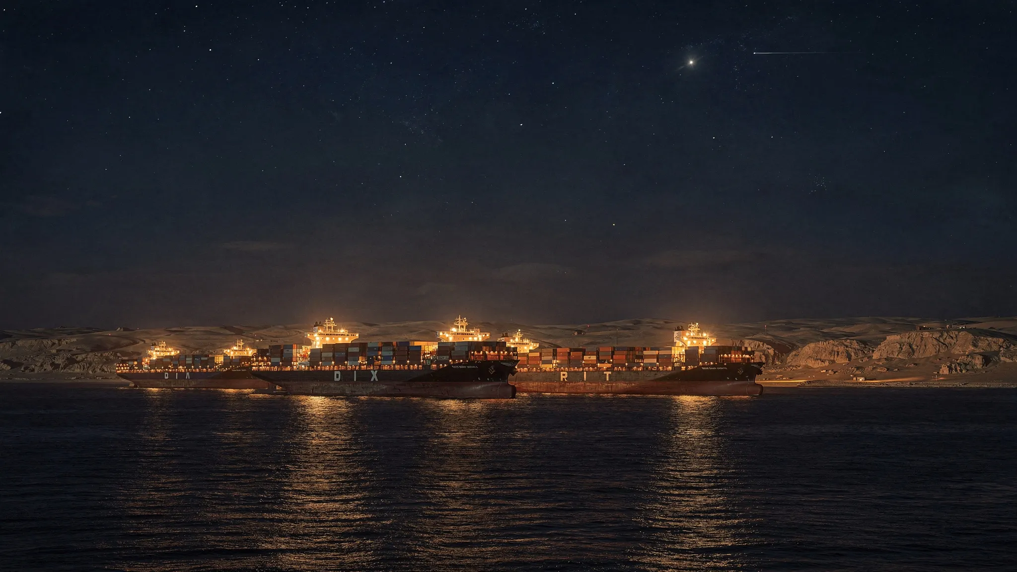
In May 2025, the container ship MSC Antonia, 75,000 tonnes, ran aground in the Red Sea. The incident was attributed to GPS spoofing: someone broadcast fake satellite signals, stronger than the real ones, so that the ship’s receiver computed a wrong position. Unlike jamming, which simply blocks the signal, spoofing keeps the equipment looking normal while it lies. The vessel stayed stuck for more than five weeks.
Civilian satellite-navigation signals are neither encrypted nor authenticated. Spoofing has been demonstrated on cars, drones and ships in controlled tests. But how widespread is it on the world’s oceans? Nobody had measured it.
Every ship tells where it is
Ships of more than 300 gross tonnes and all passenger ships must carry an AIS transponder, which broadcasts their identity, GPS position, speed and heading. Anna Raymaker, Raheem Beyah and colleagues at the Georgia Institute of Technology used a global AIS feed from the company Spire Global, collected by satellites and ground stations from late November 2024 to early February 2025 — more than 367,000 ships — and two public regional feeds to cross-check.
Their method works in two stages:
- Ship by ship, a Kalman filter — a classic prediction tool — guesses where each vessel should be next. Positions on land, speeds above 60 knots or jumps of more than 5 kilometres from the prediction are flagged; an episode is only counted if at least 70% of points over 30 minutes are abnormal.
- Across ships, each episode becomes a “jump line”. Where the lines of many independent vessels cross in the same area, the team finds a zone. Anomalies affecting a single ship — faulty transponders, recycled identifiers, deliberate self-spoofing — are set aside.
Tested in 22 of the world’s busiest ports, with no known spoofing, the method flags fewer than 0.1% of ships on median, never more than 1%.
Circles, lines and teleportation
The survey finds 17,936 abnormal episodes on 2,663 ships — 31,328 hours of physically impossible navigation — grouped into 31 persistent hotspots. At least 22 show strong evidence of spoofing: 13 match independent reports, and 9 had never been reported.
The fake tracks take four shapes:
- circles, where ships appear to loop around a fixed point — the most common in the Black Sea and East China Sea;
- straight lines tens of kilometres long, the most frequent pattern overall (14 zones);
- convergence, where dozens of ships off the Gaza coast were “teleported” inland, onto Queen Alia airport in Jordan;
- irregular jumps.
The Black Sea zone is the most sustained, touching between 902 and 2,297 ships depending on the threshold, including a cruise ship whose record off Sochi became almost unreadable. Near Port Sudan, the team found straight fake tracks on exactly the same latitude, to the fifth decimal, as the MSC Antonia’s — in January 2025, five months before the grounding. In the Strait of Hormuz, sustained spoofing already appears in early 2025.
More surprising are civilian waters. On 31 December, almost 200 ships in the Gulf of Mexico jumped simultaneously along north-south and east-west lines; the event shows up in public US data too. Recurrent episodes also appear around the Canary Islands.
Weapon, side effect or cover
The authors link many zones to conflicts — air defences near Gaza, military activity in the Black Sea — and find 16 to 215 sanctioned ships, mostly tankers, that probably falsified their own positions, such as a tanker showing fake inland positions near Vladivostok. They are careful to call these links hypotheses: AIS records only the position a ship computed, so the emitters cannot be located or attributed without radio measurements.
Their counts are a lower bound — short, small or single-ship spoofing escapes the method — over only ten weeks. But the zones come back in the same places, with the same shapes. That, the team argues, makes them predictable enough for risk maps that warn sailors before they sail in. A large ship needs one to two nautical miles to stop or turn hard, so even a short delay in spotting a fake position can end in a grounding or a collision.