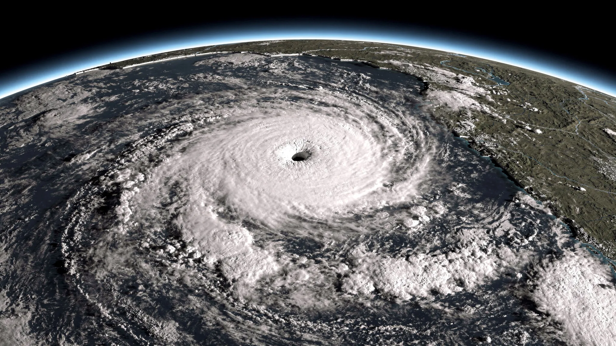
MORE CYCLONES MAY STRIKE THE COAST HEAD-ON
Tropical cyclones do most of their damage when they reach land, and the storm surge — seawater pushed ashore by the storm — is among the deadliest parts. How much water comes ashore depends on many things, including a simple one: the angle at which the storm crosses the coastline. A track that hits the coast head-on drives water onshore far more effectively than one that runs along it.
The paper gives two examples. Hurricane Katrina made landfall in 2005 at close to a right angle and produced the highest storm surge recorded worldwide since 1980, with a high-water mark of 8.5 metres at Pass Christian, Mississippi; it caused more than USD 100 billion in losses and about 2,000 deaths. Hurricane Sandy, in 2012, crossed the New Jersey coast at an angle closer to perpendicular than any hurricane on record, drove record water levels across New Jersey and New York, flooded lower Manhattan and the subway, and caused more than USD 70 billion in damage and over 200 deaths.
Yet whether such near head-on landfalls are becoming more common, globally or by region, was unknown.
1,036 landfalls since 1980
Cong Gao and Ning Lin, of the Department of Civil and Environmental Engineering at Princeton University, examined five major continental coastlines: the northern Indian Ocean, the western and eastern North Pacific, the North Atlantic and the Australian region. Islands were left out, as was Africa’s cyclone-prone coast, which mainly faces the semi-enclosed Mozambique Channel.
In the international IBTrACS storm database, they found 1,036 tropical cyclones that made landfall on these coasts from 1980 to 2024. Following earlier work, a landfall counts as near-perpendicular when the track meets the coast at 60 degrees or more. Their measure is the fraction of all landfalls that are near-perpendicular.
Over 45 years, that fraction rose by 0.05 percentage points per year — an increase too small, and too noisy, to be statistically significant. Regions disagreed: slight rises in the North Atlantic and northern Indian Ocean, slight falls in both parts of the North Pacific, none of them significant.
Millions of synthetic storms
Real landfalls are too rare to reveal long-term trends on their own. So the team used PepC-Global, a Princeton model that generates very large numbers of plausible cyclones from large-scale conditions such as winds, humidity and ocean heat. Its ability to reproduce landfall angles had never been tested; here it passed. Driven by observed weather and ocean data for 1980–2024, its 400 runs reproduced the observed spread of landfall angles, the angles of approach 6 and 12 hours before landfall, and the broad geography of where head-on landfalls are more common.
The team then drove the model with 14 climate models, 100 runs each, under two emissions scenarios.
What the projections show
- 1980–2024 in the climate models: a weak, non-significant increase, of the same sign as observed, with 11 of 14 models showing a rise. The authors read this as a possible human-caused contribution that is not yet detectable above natural variability.
- High emissions (SSP5-8.5), 2015–2099: the global fraction of near head-on landfalls increases significantly. The clearest change is along the eastern North Pacific coast, where 13 of 16 analysis points show increases — including the only two of 80 points worldwide that stay significant after correcting for multiple tests. Increases are also projected along the Yellow Sea–Bohai coast of northern China and the US Mid-Atlantic coast, where Sandy-like landfalls would become more likely for a given number of storms — a risk easy to underestimate, the authors note, because landfalls there are rarer.
- Intermediate emissions (SSP2-4.5): no significant global trend, though the Bay of Bengal shows coherent local increases.
The rise is not explained by storms shifting toward stretches of coast that already see many head-on hits. It comes mainly from the angle changing at each location.
How to read it
The authors are explicit that the high-emissions scenario is now regarded as unlikely, and better read as an upper bound than a forecast. That is the point of the comparison: the change appears under high emissions but not under an intermediate path, so this part of coastal risk depends on which path is followed.
The study does not explain why the angles change — landfall angle is the end product of where storms form, the winds that steer them, how they strengthen and weaken, and the shape of the coast. It also relies on a single modelling framework and does not yet translate the shift into surge heights. The authors call for tests with other models, including high-resolution climate models and AI-based weather and climate models, and for work on what the change means for extreme storm surge.